What if your morning jog, your dog’s favorite loop, and your weekend brunch were all a short stroll from the water? If you are considering Fort Worth, living near the Trinity River can shape your daily rhythm in real ways. You want a clear picture of neighborhoods, trails, commutes, and buyer must‑knows before you choose a home. This guide gives you a practical, local view so you can move forward with confidence. Let’s dive in.
Trinity River layout and neighborhoods
West Fork and Clear Fork basics
The Trinity River in Fort Worth is defined by its West Fork and Clear Fork. These branches create a broad corridor of parks, trails, wetlands, and open floodplain that weave through the city. Where you live relative to a fork, trailhead, or bridge influences how easily you can use the river day to day.
Key river‑adjacent districts
- Downtown, River District, and Panther Island: Near the river’s downtown corridor with ongoing waterfront planning and redevelopment activity.
- West 7th and the Clear Fork corridor: Mixed‑use, walkable retail and restaurants with trail access along the Clear Fork.
- Near Southside and Magnolia Avenue: South of downtown with a strong dining and arts scene and connections toward the river trails.
- Cultural and Museum District, west of the river: Anchored by major museums and established neighborhoods with varying trail access by street.
- Southeast edge and the Great Trinity Forest: Large natural areas with wetlands and boardwalks, plus residential pockets that feel more suburban.
Why location matters
Geography shapes lifestyle. Proximity to trailheads, bridges, parks, and dining clusters determines how often you walk or bike to everyday spots. It also affects noise levels from highways or rail lines, commute routes, and your exposure to mapped floodplains.
Day‑to‑day lifestyle
Trails and parks you will use
The Trinity Trails system links neighborhoods, parks, and activity nodes throughout Fort Worth. Popular green spaces include Trinity Park near downtown and the zoo, public spaces planned around Panther Island, and linear parks along the Clear Fork. Southeast, the Great Trinity Forest offers wetlands, migratory bird habitat, and nature programs.
Everyday and weekend activities
On a typical day, you will see walkers, runners, cyclists, and families using pocket parks, playgrounds, and picnic areas. Weekends bring community runs and rides, charity events, and occasional outdoor festivals or music. Paddling happens in select stretches and nearby lakes, but water conditions and access points vary by season and after storms.
Dining and nightlife options
If you value walkable food and fun, West 7th and Near Southside have dense clusters of restaurants, cafés, and casual nightlife. Downtown around Sundance Square adds theaters and a compact urban scene within reach of trail access points. Neighborhoods closer to larger natural areas often trade walkable dining for a quieter, residential feel.
Everyday convenience
Grocery stores, gyms, medical services, and child care are available across river‑adjacent districts, but walkability differs by area. West 7th and downtown offer the most mixed‑use convenience. South and southeast neighborhoods may require a short drive to core retail corridors.
Getting around and commuting
Highways and access
Interstate 30, I‑35W, and Loop 820 form the backbone of regional access. Many river‑adjacent neighborhoods sit within a few miles of these routes, which can shorten drive times but also introduce traffic noise near interchanges and bridges.
Public transit context
Trinity Metro provides local bus service and regional rail, including TEXRail connections from downtown Fort Worth to DFW Airport. Coverage is strongest near downtown and primary corridors. Many river‑edge neighborhoods still rely on cars for daily commuting.
Biking and walking to work
The trail network supports active commuting for short and moderate trips, especially into downtown. Some stretches are well lit and feel direct and comfortable. Others require mixing with street traffic or navigating less direct paths, so test your route end to end.
Commute testing tips
Fort Worth is car‑oriented overall. If a short commute is a priority, focus on proximity to downtown or a direct highway approach. Always test your expected route at peak and off‑peak times, and consider where you will park or how you will connect from trail to office.
Buyer considerations near the river
Flood risk and insurance
Significant parts of the river corridor sit within FEMA floodplains or special flood hazard areas. This can affect mortgage requirements, premiums, and overall insurability. Review FEMA maps for any property you are considering, request elevation certificates when available, and obtain flood insurance quotes early in your process.
Zoning and future change
Large public and private initiatives, often grouped under Trinity River Vision and Panther Island, aim to add parks, marinas, flood‑control infrastructure, and mixed‑use development. Timelines and phasing can evolve with funding and approvals. If you are buying nearby, review city planning documents and track council actions to understand potential impacts over time.
Property types and patterns
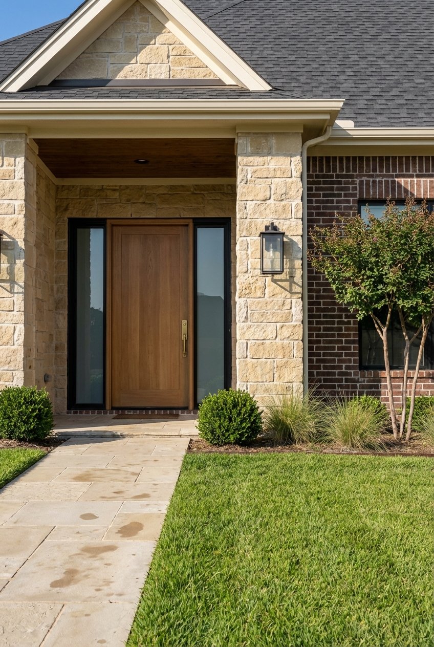
Near downtown and West 7th, you will find condos, lofts, newer infill townhomes, and generally higher price points relative to the city median. Near Southside and the Cultural District offer historic single‑family homes, renovated bungalows, and mid‑priced options in walkable pockets. Southeast areas along the forest edge trend more affordable with larger lots in some places, though retail walkability is more limited.
Noise, safety, and utilities
Rail lines run through parts of the corridor, so check train frequency and sound on the blocks you are considering. Trail lighting and patrols vary by segment, with busier sections seeing higher daytime use. In lower‑lying areas, stormwater systems and sewer infrastructure can influence construction limits and future development.
Schools and services
River‑adjacent neighborhoods fall into multiple school zones, primarily Fort Worth ISD, with some edges in other districts. Confirm the assigned schools for a specific address using district maps. Proximity to medical centers, grocery chains, and civic services varies across districts, with downtown and West 7th offering the broadest immediate access.
Quick buyer checklist
- Visit the property at multiple times, including rush hour and weekends.
- Check FEMA flood maps, and ask for elevation certificates or flood history.
- Get flood insurance quotes and confirm any lender requirements.
- Test commute routes by car, bike, and transit during peak hours.
- Walk or bike nearby trail segments to gauge lighting and upkeep.
- Assess noise from highways and rail, and observe trail usage by time of day.
- Review city planning and zoning documents for nearby projects.
- If applicable, review HOA rules on trail access, parking, and pets.
- Talk with local residents or associations for neighborhood insights.
- Use local MLS and the county appraisal district for recent comparable sales.
How The Clearfork Group helps
You want clarity on lifestyle and financing before you commit. The Clearfork Group brings a coordinated mortgage and brokerage approach that moves you from pre‑approval to closing within one team. You get local neighborhood guidance on river‑adjacent living, practical due diligence on flood risk and commutes, and a streamlined path to an offer with confidence.
Ready to explore homes near the Trinity River in Fort Worth? Connect with John Barton for a fast, clear plan from search to close.
FAQs
Is living near the Trinity River walkable?
- In West 7th, Near Southside, and downtown, you will find more walkable options with trail access and nearby dining, while other river‑edge areas are more residential and car‑oriented.
Will my house need flood insurance near the river?
- It depends on your FEMA flood zone and lender requirements, so check current maps, request elevation details, and get insurance quotes during due diligence.
Are the Trinity Trails good for commuting to downtown?
- Some trail stretches offer safe, direct routes into downtown, but others require mixing with roads, so test your exact commute during peak times.
Can you paddle or swim in the Trinity River?
- Paddling is possible in selected stretches and nearby lakes, but conditions and water quality vary by season and after storms; use local outfitters or clubs for guidance.
Will Panther Island or riverfront projects affect home values?
- Major public and private investments can increase desirability over time, but outcomes depend on funding, phasing, and market conditions, so expect gradual change.
Which school districts serve river‑adjacent neighborhoods?
- Many areas are in Fort Worth ISD, with some edges in other districts; always confirm the assigned schools for a specific property using official district maps.